Your adventure starts here
LAND makes it easy for you to get where you want to go. Create or customize your routes according to the way you explore or perhaps you prefer to follow an already created route, let yourself be guided by LAND and you will always have something to discover. Analyze every detail of your itinerary and start your adventure now. Reach success.
Download LAND for free Download LAND for free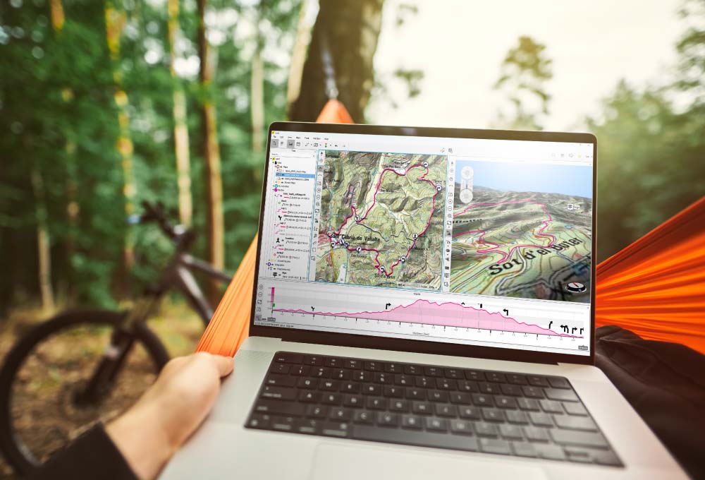
Draw your route from scratch or choose an existing one
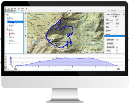
Go out and explore knowing every step of your route: accumulated slope, distances, points of interest... LAND is the software that professional guides trust in the mountains, experts who cannot doubt on a poorly marked bifurcation, an invisible path... With LAND you will be able to plan the route from the very begining and use a GPS or a Smartphone if necessary.
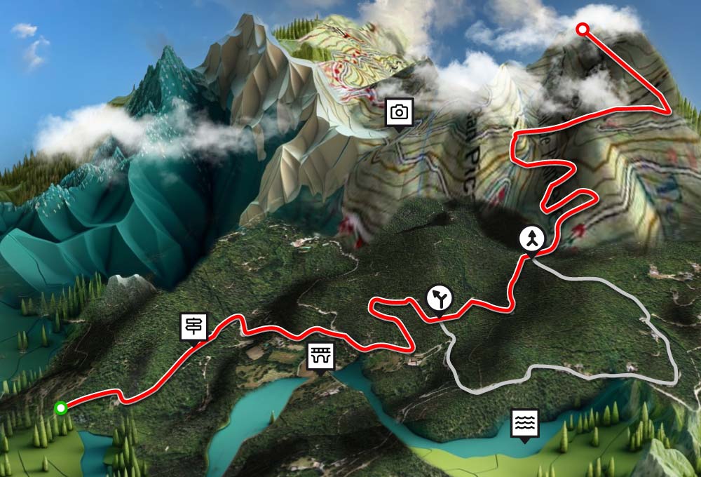
Discover new paths and routes that you didn't know about
Plan your routes with LAND using a wide variety of high-quality topographic and vector maps. With these maps will be able to know the terrain you will face and all the trails, even in 3D. In addition, with orthographic maps will get a concrete idea of the real terrain before you leave home.
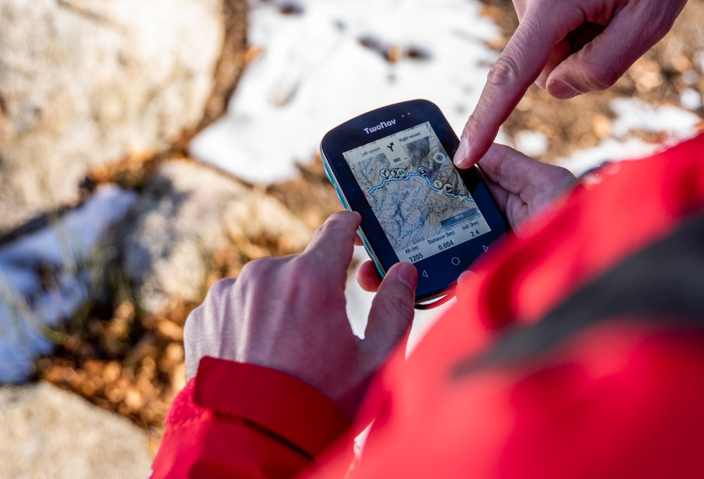
In the mountains you never know when you are going to need a plan B
With LAND you can increase the security of your activities creating routes with different alternatives, make the right decision in case you have to change the original route for a safer one or take into account altitudes and distances, before you choose the right variant to follow.

LAND Partners
Get and share routes from connected services: Suunto, Komoot, IGN Rando, TraceGPS, UtagawaVTT, FFCT, Dropbox, Google Drive, Strava, Training Peaks...
Do you want to know all the advanced features of LAND? Find out more!
Users like you, also use LAND
The best preparation will determine the success of your activities

"In my training I use LAND to evaluate my performance. When I go out for leisure, I use it to discover places"
Pol Tarrés (@pol.tarres), Ambassador TwoNav
read interview
"As a mountain and bike instructor, LAND is an essential tool for me to prepare the tracks of my clients"
Gilles Ducol (@gilloud73), Ambassador TwoNav

"LAND is key to planning accurately. Its topographic maps allow me to discover unexplored areas"
Rafa Ruiz (@r_ruizv_mountain), TwoNav user

"As a mountaineer, LAND offers me the chance to find the best possible plan, assess the alternatives and locate the most critical points on my routes"
Ferran Latorre (@ferranlatorre), Ambassador TwoNav

"Of the different software that I have tried (BaseCamp, TrackMaker, OziExplorer...), LAND is the most stable and intuitive. In addition, its accuracy is very acceptable"
Federación Española Deportes Montaña y Escalada (@fedme_insta),

"We chose the LAND partner because it is today the most successful for the quick and easy creation and modification of road and mountain bike routes"
Fédération Française de CycloTourisme (@ffvelo_officiel),
...and you, what are you waiting for to try LAND? Start now!
DOWNLOAD LAND FOR FREE NOWHow to start with LAND?
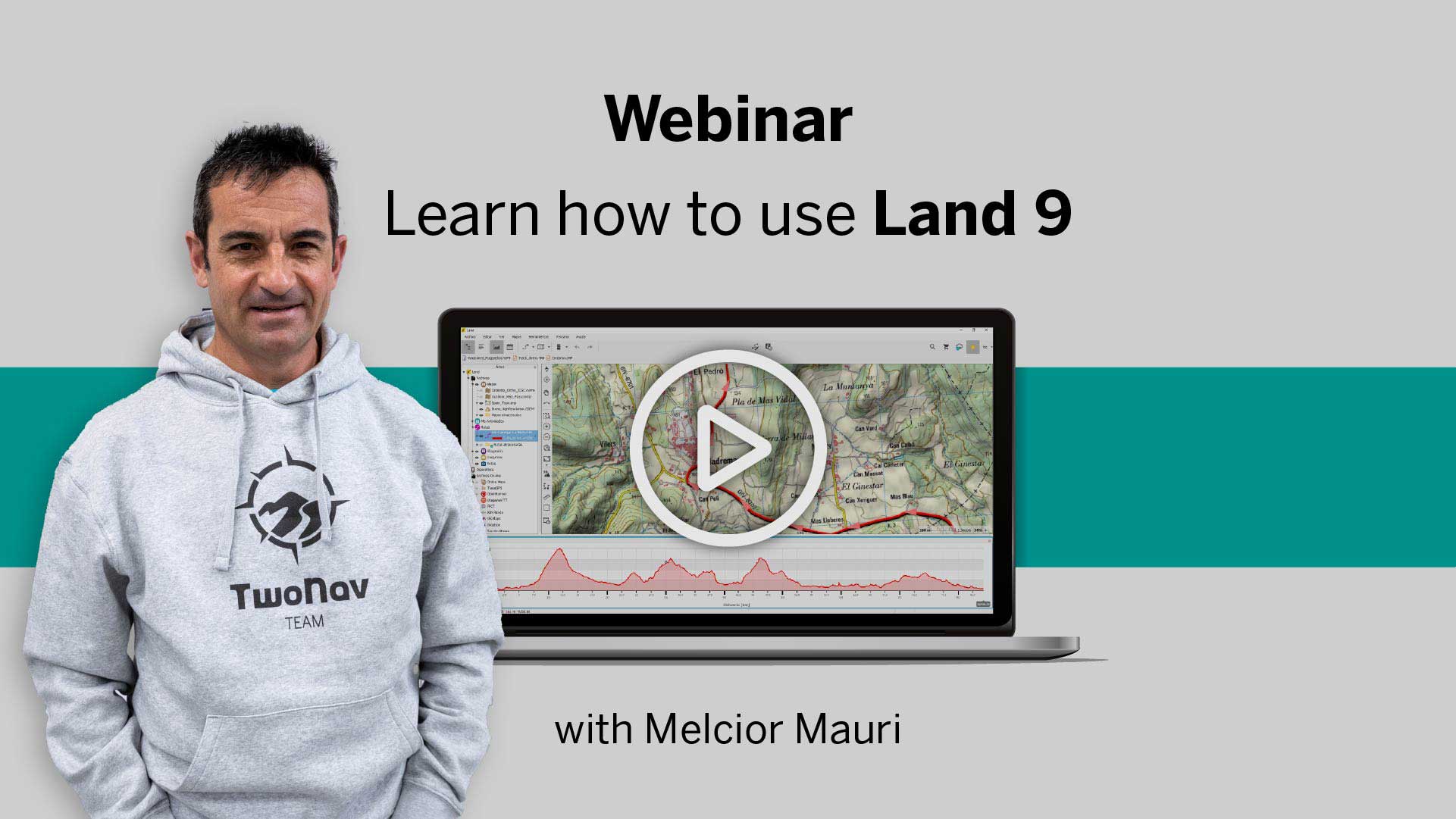
Melcior Mauri, TwoNav ambassador, easily explains it step by step
Now it's your turn. Experience it for yourself!
DOWNLOAD LAND FOR FREE NOWDo you need more help? We are by your side
Create your first route in LAND
Here are 6 videos of less than 1 minute so you can easily get acquainted with creating and editing tracks.
Keep reading Try LAND for free
Download free routes and maps
LAND offers you the possibility of downloading tracks and maps from all over the world for free from the same software.
Keep reading Try LAND for free
Get the most out of your maps
We teach you 4 tricks that will be of great help to you while planning your next adventure. Become an expert.
Keep reading Try LAND for free
Draw your tracks in less than 1 minute
Discover a new way to create your routes, do it freehand. Instead of creating your itinerary point by point, draw the track as if you were doing it on paper. Very easy!
Keep reading Try LAND for free
Include alternative routes in your routes
We are sure that while you prepare your itineraries through the mountains, on more than one occasion the eternal dilemma has arisen: should I prepare a long route, or would it be better to shorten it a bit?
Keep reading Try LAND for free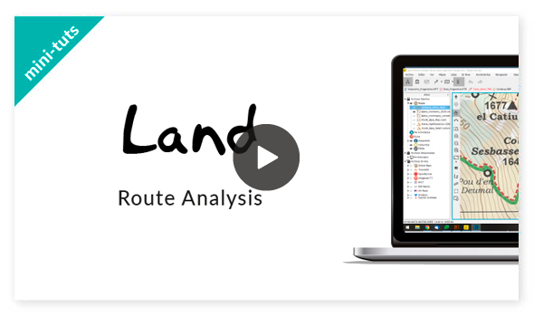
Analyze your routes
Knowing the altitudes, distances and efforts you will face will help you complete your adventure successfully.
Keep reading Try LAND for freeWould you like to receive tips like these?
Sign up for LAND lessons for free, in a few weeks you will learn the best tricks that will help you enhance your outings as a true mountain guide.
TRY IT FOR FREE NOW
What better way to get to know LAND than to try all its features for yourself
Land 9.73
For Windows and Mac OS

Land 9.7.3 Windows
Windows 7 / 8 / 10 (or higher)
LAND at TwoNav Ecosystem
Discover how Land connects with the TwoNav Ecosystem and enjoy a complete and safe outdoor experience

Track storage and analysis

Online Route Partners
(IGN Rando, FFCT…)

Map shop
(Catalogue from all around the world)




TwoNav GPS
(Cross, Aventura 2, Trail 2…)

Connect to other devices
(Garmin, Suunto, Polar…)

TwoNav App
(Navigation App)
Thinking of your next routing?
We provide you with the most detailed map for the area you are going to visit

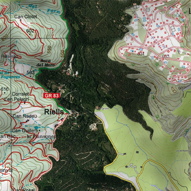
30,000 maps from around the world
Wide catalog of topographic maps, roads, orthophotos, aeronautics, reliefs... Choose from the wide variety of maps of Spain, Portugal, France, Morocco and many more countries from the main publishers: IGN, Alpina, Piolet, SUA, TomTom... Maps from 0,25 €
See collection Maps Play video
